AllTrails has effectively become the default way people find somewhere to walk, with a database of hundreds of thousands of trails and enough reviews that you can usually work out what a path is actually like before committing a morning to it. The interesting question is not whether the app is good, because it plainly is. It is whether the paid tier is worth it, and where the crowd-sourced data will let you down.
Note: this post contains affiliate links. If you sign up through them I may earn a small commission at no cost to you, see my disclosure. Pricing changes, so check current rates before you buy.
The free version is an excellent planning tool and you should have it regardless. AllTrails+ is worth it for one feature, offline maps, which turns the app from a guide into actual navigation. If you hike more than a handful of times a year, pay for it. If not, do not.
What the Free Version Gives You
More than you would expect. The full trail database, filters by distance, difficulty and features, elevation profiles, and the thing that actually makes it useful, recent written reviews with photos.
Those reviews are the real product. A trail description written by a tourist board tells you nothing. Four people saying the creek crossing is impassable after rain, or that the car park fills by eight, tells you everything. For trip planning, free AllTrails is genuinely all most people need.
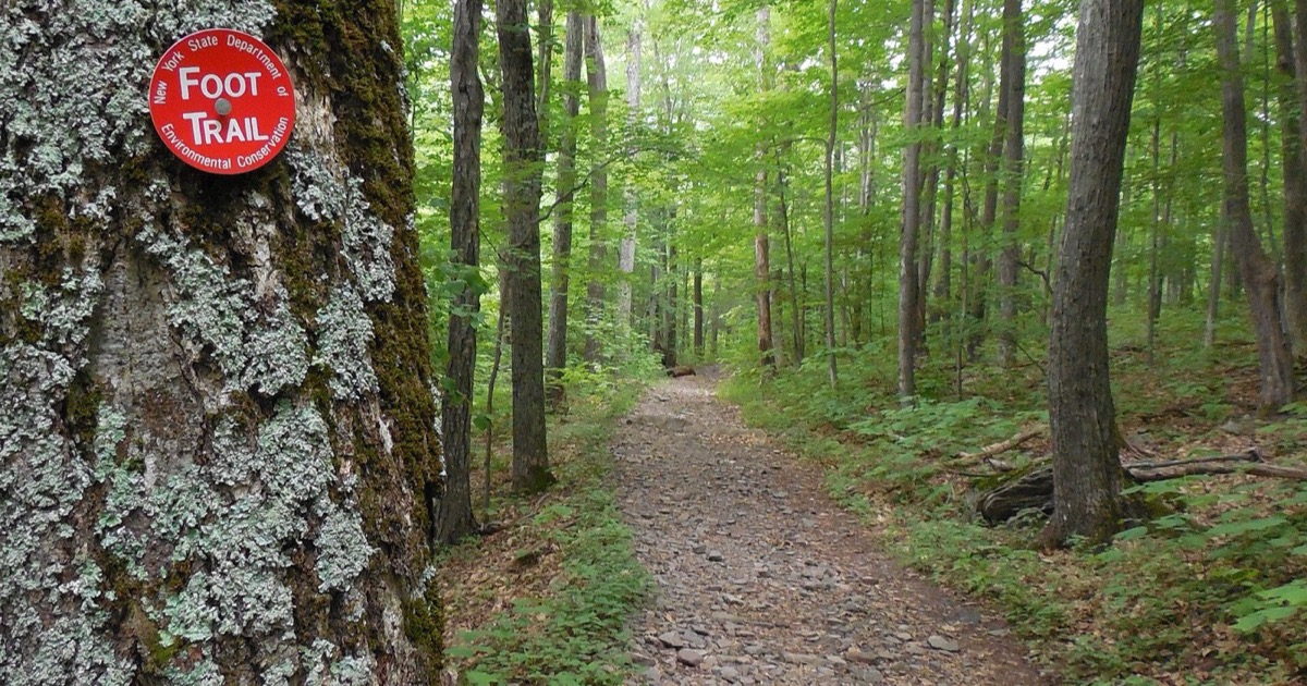
Waymarking varies enormously by country. Where it is poor, a downloaded map stops being optional.
What AllTrails+ Adds
Offline maps, which is the reason to pay
Download the map over wifi before you go, and your phone's GPS keeps working with no signal at all. Trailheads are, by their nature, in exactly the places where coverage disappears. Without a downloaded map the app becomes a photo gallery at the precise moment you need it to be a map.
Wrong-turn alerts
The phone buzzes when you drift off the route. It sounds like a gimmick until you have followed an obvious-looking path for twenty minutes in the wrong direction, which is how most straightforward hikes turn into long ones.
Live share and print maps
Sharing your live location with someone at home is a genuine safety feature for solo walking, and printable maps are a sensible paper backup for a bigger day out.
Where It Falls Short
- Difficulty ratings are inconsistent. They are crowd-sourced and relative to the local area, so easy in Colorado and easy in Florida are not remotely the same. Read the elevation gain instead of the label.
- Popular trails get loved to death. The app concentrates people onto the same routes, which means the highest-rated trail near a city is often the busiest and least pleasant.
- Data can be stale. Trails close, bridges wash out, access changes. Sort the reviews by most recent and believe those over the trail description.
- It flattens serious terrain. For genuine mountaineering or remote backcountry, dedicated tools give you better topographic detail and layers. AllTrails is built for day hikes and it is best inside that scope.
- Battery. GPS tracking eats a phone. On a full day out, bring a power bank and treat your phone as a device with a finite life.
How to Use It Well
Pick the trail on the app, then read the three most recent reviews rather than the rating. Download the map at the hotel, not at the trailhead. Check the elevation gain and be honest with yourself about it. Bring a power bank, and tell someone where you are going.
If you are building a trip around walking, this pairs directly with the research stage of planning the trip properly, because the trails worth doing are usually the ones you found before you arrived rather than the ones you stumbled on.
Frequently Asked Questions
Is the free version of AllTrails good enough?
For planning, yes. Free gets you the full trail database, photos, written reviews, distance and elevation profiles, which is most of what you need to choose a hike. What free does not give you is offline maps, and that is the feature that matters once you are actually on the trail without signal.
Is AllTrails+ worth the money?
If you hike more than a few times a year, yes, mostly for offline maps and wrong-turn alerts. Downloading a map before you lose signal is the difference between a navigation tool and an expensive photo gallery. If you hike twice a year on well-marked paths, the free version is fine.
Are AllTrails difficulty ratings accurate?
Treat them as a rough guide. Ratings are crowd-sourced and skew to whoever reviews most in that area, so an easy rating in a mountain region can mean something very different from easy in a flat one. Read the elevation gain and the recent written reviews rather than trusting the label.
Can I use AllTrails without phone signal?
Only with a downloaded map, which requires AllTrails+. Download before you leave wifi. Your phone GPS works without signal, so a downloaded map plus GPS gives you full navigation in areas with no coverage at all, which is the entire point of the feature.
Image credit: NYSDEC foot trail marker by Niranjan Arminius (CC BY-SA 4.0). Cropped and resized from the original.